
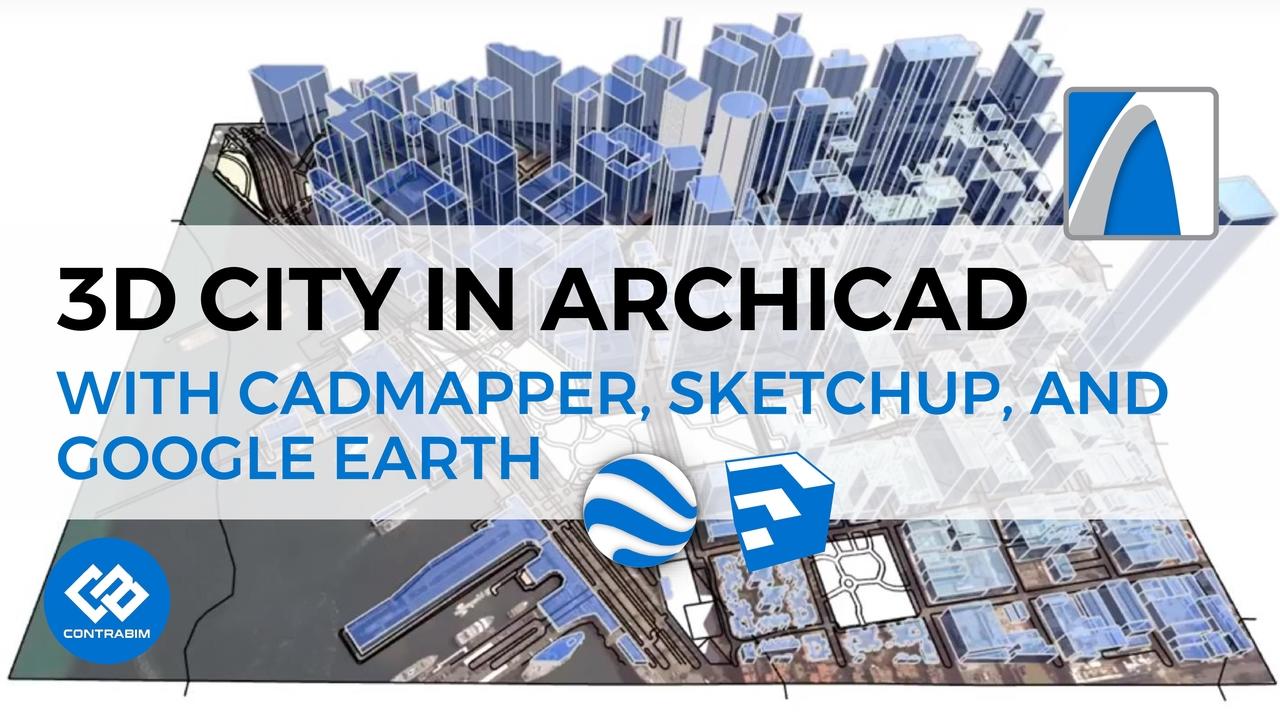
Building a 3D City in ARCHICAD Using CADMAPPER
Jun 01, 2018In this tutorial, we'll explore CADMAPPER, a useful, free, online resource for generating 3D site models. Check out the website here...
Within a few minutes, select and generate a 3d model from any location on the planet. Export to AutoCAD, Rhino, Illustrator or SketchUp formats.
In this example, we'll use the SketchUp Format, to import geometry into ARCHICAD to continue working with shaping up and creating enhanced visuals and topography.
We'll also collect the Google Earth Satellite Imagery, and map that to the cadmapper topographic surface.
Video Outline & Learning Objectives:
Intro: 6:30
Learn how to export GIS site data 12:26
Learn how to import Sketchup into ArchiCAD 19:30
Learn how to explode, and work with Morphs 22:30
Learn how to export Google Earth Imagery: 29:28
Learn how to texture map aerial images to topo surfaces 41:05
Learn how to create topo lines 49:45
Learn how to combine morph topography 56:30
Learn how to add elevations in google earth 58:50
Stay connected with news and updates!
Join our mailing list to receive the latest news and updates from our team.
Don't worry, your information will not be shared.
We hate SPAM. We will never sell your information, for any reason.
