
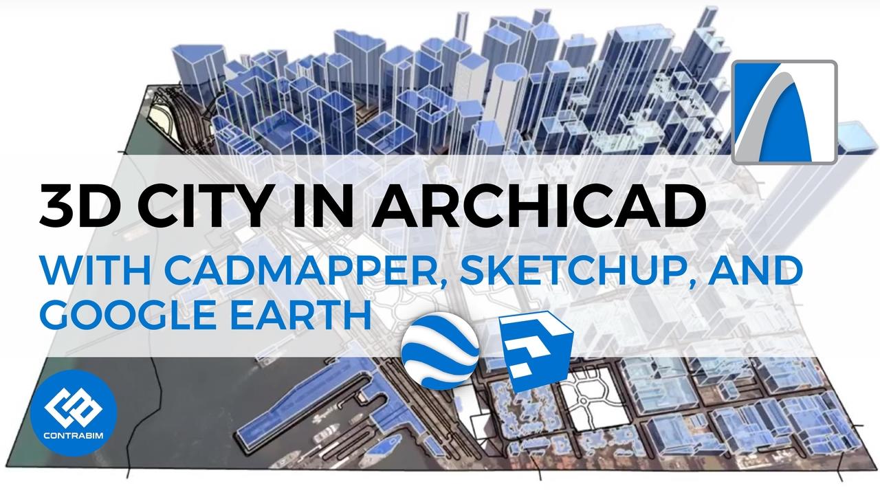
Building a 3D City in ARCHICAD Using CADMAPPER
3d cities
cadmapper
gis
google earth
interoperability
site modeling
sketchup
visualization
Jun 01, 2018
Read More
In this tutorial, we'll explore CADMAPPER, a useful, free, online resource for generating 3D site models. Check out the websi...
CATEGORIES
All Categories 3d cities 3d view settings 3d visualization 5d estimating aia amt mastertemplate annotations arc5d archicad archicad 24 archicad 25 archicad 28 archicad and excel archicad tip association bim data bim to field bluebeam c5d c5d systems c5d trades cadmapper case studies casework objects change management cmu columns and beams company news complex profiles composite structures concrete concrete block coordinates cost estimating curtainwall custom surfaces data conditioning data exchange data management design options drawing layouts earthwork element id manager elevations estimating excel expressions facades fills formulas gis goodies google earth graphic overrides hotlinked modules ifc image fills import/export interactive schedules interior elevations interoperability keynotes labels lamps laser scanning layout points libraries library part maker light objects line types markups marquee masonry measurements mep modeler mep modeling mesh tool modeling modeling techniques morphs navigation object creation objects offset modifiers palettes param-o pdf pdfs pen sets pens & fills placemarkers point clouds powerpoint presentation presentations productivity properties property mapping quantification quantities railings registration rendering renovation filters reporting workflows revisions roof surfacer roof tools roofing roofs saving images scan to bim sheet metal flashing sheet metal roofing site modeling sketchup solid element operations speed modeling structural steel structures surface textures surfaces survey surveying symbol fills takeoffs tool tips toolbars trace and reference training trimble realworks trussmaker user settings visual favorites visualization walls website work environment